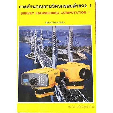
วิศวกรรมสำรวจ 1 (SURVEY ENGINEERING 1: THE NEW ERA OF SURVEYING)
Softcover
฿ 288.00
320.00
Discount 10 %
Book info
Barcode : 9789748703848
ISBN : 9748703843
Year of print : 13 / 2547
Size ( w x h ) : 185 x 260 mm.
Number of pages : 625 Pages
Book category : วิศวกรรมโยธา
Product details : วิศวกรรมสำรวจ 1 (SURVEY ENGINEERING 1: THE NEW ERA OF SURVEYING)
สารบัญ
บทที่ 1 วิวัฒนาการแผนที่ในเมืองไทย
บทที่ 2 การสำรวจและการทำแผนที่ (Surveying and Mapping)
บทที่ 3 การวัดระยะ (Distance Measurment)
บทที่ 4 การสำรวจด้วยเข็มทิศ (Compass Surveying)
บทที่ 5 กล้องวัดมุม (Transit Theodolite)
บทที่ 6 การทำวงรอบ (Traversing)
บทที่ 7 การคำนวณพิกัดฉาก (Computation of Rectangular Coordinate)
บทที่ 8 การคำนวณเนื้อที่
บทที่ 9 การระดับ (Levelling)
บทที่ 10 การปรับแก้ค่าระดับเบื้องต้น
บทที่ 11 การทำระดับตรีโกณ (Trigonometrical Levelling)
บทที่ 12 เส้นชั้นความสูง (Contouring)
บทที่ 13 การวัดระยะด้วยกล้อง Optical Theodolite (Tacheometry)
บทที่ 14 การสามเหลี่ยมเบื้องต้น (Elementary Triangulation)


